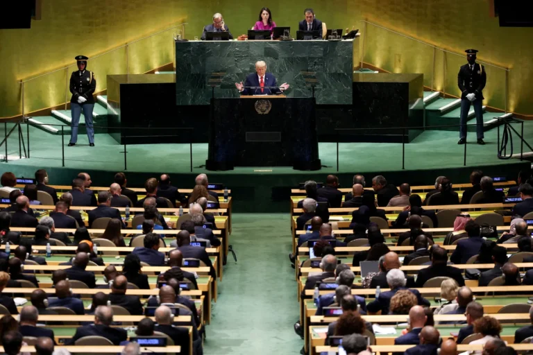

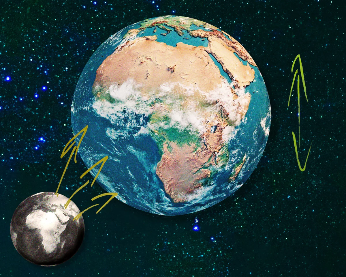



A recent United Nations resolution, introduced by Togo, aims to move away from the traditional 16th-century Mercator map of the globe, replacing it with versions that provide a more accurate representation of global landmasses. The standard map long utilized by classrooms and institutions notably underestimates the size of Africa while inflating the proportions of North America and Eurasia. By adopting the Equal Earth projection, the global community is addressing deep-seated geographic inaccuracies that have historically served to project a false sense of stature and dominance for Western nations.
Eromo Egbejule, a correspondent focusing on West Africa, notes that despite the scientific necessity of correcting these distorted ratios, the resolution faced resistance. The United States was the sole nation to veto the measure, while six other countries chose to abstain. American officials dismissed the initiative as “superfluous,” a term Egbejule characterizes as a euphemism for political or ideological discomfort. He argues that this is fundamentally a discussion about scientific accuracy rather than an attempt to impose a new worldview.
The debate highlights how geographic representation often intertwines with geopolitical influence. For instance, former US President Donald Trump’s interest in purchasing Greenland was reportedly bolstered by its inflated appearance on standard maps. In reality, Greenland is roughly 14 times smaller than it appears on the Mercator projection, occupying only a fraction of the scale attributed to it. The realization that giants like China, Russia, and the United States could collectively fit within the borders of the African continent with room to spare is, for many, a jarring corrective to long-held perceptions of international power dynamics.
Advocacy groups such as Africa No Filter, which supported the map justice campaign, suggest that this push for accuracy prompts a broader inquiry into how the continent has been perceived. The group posits that if the world has been mistaken about the basic size of Africa for over 400 years, it raises questions about what other narratives regarding the continent have been accepted without critical scrutiny. This initiative follows other recent landmark UN efforts, such as the vote to formally recognize the transatlantic slave trade as a crime and issue calls for reparations.
While the resolution is not legally binding, its supporters believe it creates necessary momentum for a multipolar world order. Egbejule likens the process to local proverbs, noting that even small, symbolic changes—like grains of rice filling a pot—can aggregate into significant shifts in how history and global reality are taught and understood. These interventions aim to challenge the lingering legacies of colonization that have historically subordinate regions through mapping and cultural associations.
As digital forces and social media increasingly shape and potentially warp our shared understanding of reality, proponents argue that securing basic, observable truths like land scale is essential. The push to decolonize curriculums and redefine international standards reflects a desire to move beyond historic distortions. For those involved in the advocacy, the resolution represents a step toward reclaiming a more objective view of the world, free from the abstract unrealities that have for centuries favored the dominance of the West. The report also notes that but a testament to how much our perceptions of the physical world are linked to our estimations of stature, it is an emotional response more than anything. The report also notes that but Eromo sees this as a euphemism for “ideological” or “woke”. “I don’t see why it feels so strongly,” he told me. “This is a scientific discussion, the US dismissed the effort as “superfluous”. The report also notes that t his month, the UN passed a resolution, brought to the assembly by Togo, to phase out the traditional Mercator map of the globe and replace it with another that shows the real scale of territories. The report also notes that seeing the new map transposed over the old might make you feel oddly disoriented. The report also notes that logically, there is absolutely no immediate tangible impact on one’s life that comes out of knowing that the entire top part of the northern hemisphere is so much smaller than you were led to believe. The report also notes that and yet, there is still something agitating about it, like you’ve been the subject of a lifelong trick, or at least a breach of trust.