









The Met Office has issued yellow thunderstorm warnings across parts of the UK, cautioning that heavy, sudden downpours could trigger flash flooding and significant travel disruption. These alerts, which come into force on Wednesday, warn that residents should prepare for potential power cuts and damage to homes and businesses.
The timing for these weather warnings is staggered across the regions. Northern Ireland is under alert from 12:00 until 23:59 BST on Wednesday. Parts of North East Scotland, including Aberdeen, face warnings from 14:00 until 21:00 on Wednesday. Meanwhile, parts of northern England, covering areas such as Manchester and Newcastle upon Tyne, are under a warning from 19:00 on Wednesday until 10:00 on Thursday.
Forecasters expect lightning, hail, and thunder to accompany the storms. Rainfall projections suggest up to 30mm could fall within a few hours across Northern Ireland and parts of North East Scotland. In northern England, some areas could see as much as 50mm of rain within a six-hour window. Because the ground remains hard and compacted after a long, dry summer, the soil is currently water-repellent, which significantly increases the risk of rapid surface runoff and flash flooding.
This shift in weather follows an exceptionally dry period. July 2026 was the driest on record for England and Wales, and southern England recently recorded its driest month since records began in 1836. Currently, 71.3% of England is officially in drought, with parts of eastern Scotland also suffering from severe water scarcity. In Wisley, Surrey, a 62-day dry spell finally ended on Wednesday morning when 1.6mm of rain fell.
Despite the incoming rain, the Environment Agency has cautioned that “sustained and significant rainfall” is required to truly alleviate the drought conditions. Water companies have also confirmed that the current showers will not lead to the lifting of existing hosepipe bans, which currently impact more than 20 million people across the UK. Prolonged precipitation is necessary to restore depleted water levels and replenish parched landscapes.
The broader weather pattern is shifting from high to low pressure, bringing more widespread rain over the coming days. However, rainfall totals are expected to be uneven; while some locations may receive 20-30mm or more if showers track repeatedly over the same area, nearby spots might see very little or miss the rain entirely.
Temperatures are also beginning to drop, marking a departure from the intense heat that saw five heatwaves this summer. Wednesday is expected to be the first day since 29 June where maximum temperatures fail to reach 25°C (77°F). This cooling trend is set to continue through Friday, with nights becoming noticeably chillier.
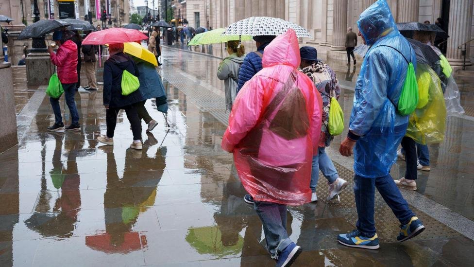
Looking ahead to Thursday, the focus for heavy, slow-moving, and potentially thundery downpours is expected to shift southward. Areas including the Midlands, Lincolnshire, East Anglia, and parts of south-east England may see significant rainfall. The Met Office indicated that further weather warnings could be issued for parts of England and Wales as these unsettled conditions persist through the end of the week. The report also notes that with parts of the country experiencing their first rain in weeks on Tuesday, the downpours follow almost two months of dry weather. The report also notes that much of the UK has seen a mixture of sunshine and scattered showers already on Wednesday. The report also notes that spectators take shelter as rain halts play on day one of the England v Pakistan first men’s cricket test in Leeds. The report also notes that recording its driest month ever in records dating back to 1836, southern England has been worst affected. The report also notes that with daytime values returning to about, or perhaps even slightly below, the seasonal average for the first time in many weeks, temperatures will also fall across all areas as the week wears on. The report also notes that rainfall totals could vary considerably over short distances, as is often the case with heavy showers.