









After years of stalled negotiations and missed deadlines, the US Bureau of Reclamation has released a 10-year framework intended to stabilize the imperiled Colorado River. With the existing management guidelines set to expire this October, the federal government has stepped in to establish a new, albeit temporary, strategy for the waterway that supports 40 million people across seven states, numerous Indigenous tribes, and two nations.
The proposed blueprint introduces operating parameters that will be subject to review and adjustment every two years. Under this federal plan, California, Arizona, and Nevada—the lower-basin states—could face annual reductions of up to 3 million acre-feet of water, representing roughly 40% of their total supply. One acre-foot, which is enough to cover a football field in one foot of water, equals approximately 326,000 gallons, or enough to sustain three families for an entire year. While the specific distribution of these cuts remains undefined, the lower-basin states are facing a mandatory reduction of 1.25 million acre-feet for 2027 and 2028, with the potential for even deeper cuts depending on future environmental conditions.
Experts are characterizing the proposal as a stopgap measure rather than a definitive resolution to the water crisis currently gripping the American West. The primary objective is to safeguard the critical infrastructure at the heart of the river system, including the massive dams that regulate flow. This approach is intended to provide the seven basin states—Colorado, New Mexico, Utah, Wyoming, California, Arizona, and Nevada—more time to resolve their ongoing impasse regarding how to distribute the substantial cuts required to prevent a total system collapse.
The Colorado River spans 1,450 miles from the Rocky Mountains to Mexico, fueling an estimated $1.4 trillion in economic activity and irrigating 5.5 million acres of farmland. It is essential to the survival of major urban centers like Los Angeles, Phoenix, and Las Vegas. However, the river has been overdrawn for over a century, rooted in an outdated 1922 compact that allocated more water rights than the system actually contains. This structural deficit has been exacerbated by a warming, drying climate, leaving the basin in a state of chronic instability.
Tensions remain high between the upper-basin states, which have resisted mandatory cuts, and the lower-basin states, which argue that the upper-basin must meet its delivery obligations. Rhett Larson, a professor of water law at Arizona State University, noted that the lower-basin states are likely to present a compelling argument by this autumn that the upper-basin has failed to meet its required water deliveries. The threat of litigation remains a constant concern, with stakeholders warning that a protracted legal battle before the US Supreme Court would be catastrophic for all parties involved.
Critics of the new plan argue that it fails to address the underlying severity of the crisis. Noah Garrison, a water researcher at UCLA’s Institute of the Environment and Sustainability, described the plan as a move that simply “kicks the can down the road.” He warned that failing to address the fundamental supply-demand imbalance puts the water security of 40 million people at significant risk, adding that there is a potential for extremely serious consequences if the situation is not managed more effectively.
Dr. John Berggren of Western Resource Advocates emphasized that significant shortages are necessary to protect the system, but he cautioned that without broader, more comprehensive solutions, the region will find itself back in the same position within two years. The need for balance is urgent; the basin requires a reduction of more than 3 million acre-feet—over a quarter of its average annual flow—to stabilize.
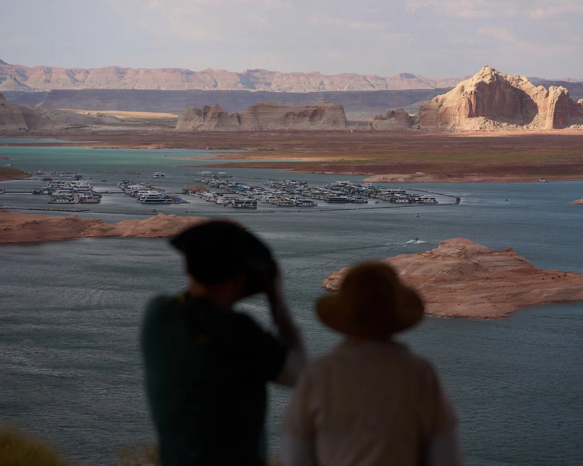
The crisis reached a breaking point this year, driven by a combination of severe snow drought and extreme spring heatwaves. At the start of the summer, water levels at Lake Mead and Lake Powell dropped to dangerous lows. Experts like Dr. Jack Schmidt of the Center for Colorado River Studies warned that even a mediocre year of runoff could push the system over the edge. While some hope that the El Niño climate phenomenon might bring increased precipitation, experts like Brad Udall of Colorado University remain skeptical, noting that historical data suggests such events are not a reliable long-term solution for the basin’s water woes.
Ultimately, the federal government’s ability to force compliance is limited, though it maintains control over the flow through Lake Powell and Lake Mead. While conservation efforts have helped reduce consumption in some sectors, these measures have not been sufficient to offset the long-term decline in water availability. As the region faces the prospect of a “deadpool” scenario, where water levels drop too low to flow downstream by gravity, the pressure to find a sustainable, long-term agreement has never been greater. The report also notes that the document doesn’t spell out how exactly those cuts would be handed out. The report also notes that snaking across 1,450 miles (2,300km) from the Rocky Mountains into Mexico, the Colorado River is one of the largest waterways in North America. The report also notes that with scores of birds, fish, plants and animals, and provides critical habitat for more than 150 threatened or endangered species, the sprawling basin is also home to diverse ecosystems. The report also notes that a gap that’s only widened as the climate crisis takes a larger share and the region warms and dries, an outdated compact agreed to in 1922 doled out more rights than there was water in the system. The report also notes that but the framework currently governing the waterway is set to expire in October 2026, there have been layers of agreements and emergency orders to conserve water over the years.